The Highfield Road development, as with Lone Tree Avenue, Cresswell Close and Lone Tree Close and Cooke Walk, were built on Cresswell open field, which stretched as far as the Huntingdon Road. It is now believed that it was originally called Crosswell Field after a well and cross that once stood west of the current Cambridge Road/Kings Hedges Road junction. Cresswell Springs, Girton were a source for The Brook that runs behind Highfield Road past the War Memorial and on through The Green towards Westwick. Just south of the A14 on the way to Girton, ancient ridge and furrow can be seen in the paddocks of Woodhouse Farm. During drought years aerial photographs reveal the presence of the many Roman homesteads that made East Anglia the granary of the invading legions.
In 1922 A.W. ‘Billie‘ Smith had his home at 42, Cambridge Road built on land he purchased from Charles Love (farmer and butcher of West Road). Mr Smith was the first village estate agent and was clerk to Histon Parish Council from 1938 to 1974. Arounf 1817 Charles Love also sold land to retired Burgoyne’s Manor farm manager, Henry Henshaw. Mr Henshaw had number 44 or ‘Cawcutts’ built. After his death the property was sold to S. Oswald Chivers, who ran the factory after his father, John had died in 1928. It stands opposite a pathway through The Coppice, which used to run across to ‘Cawcutts Farm’ (currently The Holiday Inn).

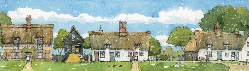
c. 1911 Cambridge Road featuring ‘The Palms’, on the corner of Highfield Road. Beyond one can see turning, the mill sails and a smoking factory chimney.
The present Camtrust printers was originally the site for the fondly remembered ‘A. Nice Cycle Shop’ which by 1922 was recorded as
“…..Nice, Arthur, motor engineer and cycle agent of BSA, Royal Enfield and Ariel Cycles and sub agent for the Hudson motor cycle.”
As with many such workshops, it gradually converted to servicing cars and in recent times is remembered as the garage of Golding (a one-time partner of Mr. Nice) and Woodlark.
Cawcutts Farm and The Coppice, Impington
A study of the enclosure map of 1806 shows that this site was once part of the vast, open Burrow Field. The later 1903 map shows the area still undeveloped. However, before long it was planted with stands of trees with an area of open parkland at its centre.
It is known that by 1910, John Chivers had purchased Cawcutts Farm. It is believed that he intended to build himself a residence on part of Cawcutts Farm which, after tree planting, became known as The Coppice. During the next twenty years he planted orchards of apples, pears and damsons which stretched from the hotel site down to Kings Hedges Road. The area, then known as the ’Estate’, was used for grazing prize Jersey cattle.
In 1963, the eastern flank of The Coppice was destroyed by the construction of Bridge Road, separating it from the farm and reducing its size by a third. The reduced estate became available for development and by the 1970s Sindalls prepared to clear the site and erect eighty homes! However, after bulldozing a large entrance through the trees and laying out the roads, the planners permitted the building of only thirty five houses. It fell to Messrs Moss of Cottenham to construct the present estate, preserving much of the hundred year old woodland.
